Everyone climbs Tam to stand on East Peak. We went the other way — out along the ridge, west, until the road runs into the ocean fog and the only thing left to do is breathe.
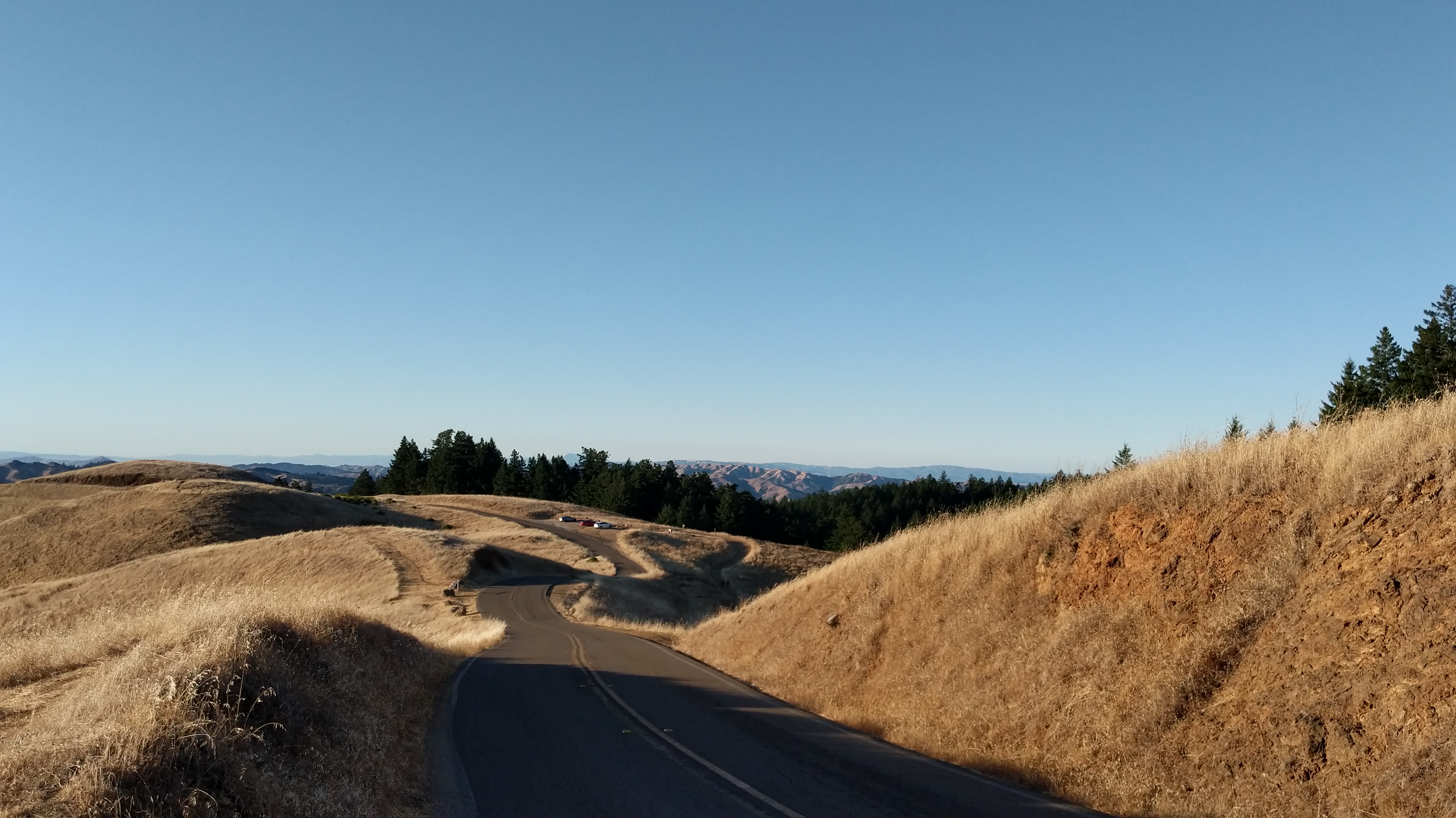
The Seven Sisters aren't a climb so much as a conversation. Strung along West Ridgecrest Boulevard, they're a run of seven short, sharp rollers — each one a quick punch up and a faster drop down, over and over, like the ridge is breathing under you. Most riders treat them as an obstacle on the way to somewhere. We think they are the somewhere.
Ride them late. By four o'clock in autumn the marine layer starts piling against the coast, and the low sun turns the grass the color of a struck match. You crest a Sister, the Pacific opens up below, and for a second you're flying. Then the next one. Seven times. By the last you've stopped counting and started grinning.
Getting there
From the city it's a thirty-minute drive: north over the Golden Gate, off at Mill Valley, and up Panoramic Highway with the windows down. Park at the Pantoll Ranger Station — there's a lot, a restroom, and water, which is the last reliable water you'll see for a while. Roll out west on Ridgecrest and the Sisters start almost immediately.
If you'd rather earn the ridge, ride up from Mill Valley instead and add about 1,500 feet and a long, shaded grind through the redwoods on the way. We've done it both ways. On the day you want the rollers to feel like a gift, drive to Pantoll. On the day you want to deserve them, don't.
“By the last Sister you've stopped counting climbs and started counting the light.”
What we packed
- Lightweight wind shellfog drops fast
- Two bottlesno water past Pantoll
- Compact 34 / 32-tooththe Sisters bite
- Rear blinky lightlow-sun glare
- A real camerayou'll want it
Good to know
Pantoll lot is $8, cash or card at the machine; it fills by mid-morning on clear weekends. Arrive before ten or come for the evening.
None to ride. If you want to stay, Pantoll's first-come walk-in campground is one of the best-kept secrets in the Bay Area.
Drop into Fairfax at the far end and reward yourself at Gestalt Haus or a slice from Rustic Bakery. Coffee back in Mill Valley if you loop south.